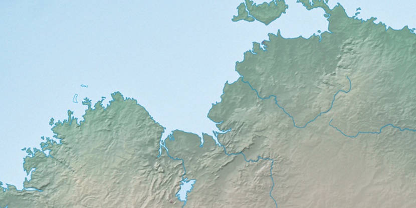
Ban Ban Airfield, (airfield) is located in Northern Territory, in Australia (Australia). It is placed in GMT+9:30 time zone with current time of 04:28 AM, Monday. Offset from your time zone: minutes.
| Latitude | 

|
|
| decimal | -13.37766 | |
| DMS | 13° 22' 39.576" S | |
| Distances from | ||
| North pole | 11494.5 km | |
| Equator | 1487.5 km | |
| South pole | 8519.6 km | |
| Longitude | 
|
|
| decimal | 131.49703 | |
| DMS | 131° 29' 49.308" E | |
| Distance from prime meridian: 13898.7 km to East |
||
List of nearest places sort by population
Darwin 124.2 km 325°330°
 335°330°325°
 324°326°325°326°331°

Marker is showing location of Ban Ban Airfield on map(s). You can click on marker if you want to hide it.
 T: 0.0091 s.
2026 © Location.zone | Terms of use | Contact
 138°
138° 153°
153° 125°
125° 217°
217° 163°
163° 8°
8° 310°
310° 302°
302° 97°
97°