Phillip Creek Landing Ground, (airfield) is located in Northern Territory, in Australia (Australia). It is placed in GMT+9:30 time zone with current time of 05:15 PM, Tuesday. Offset from your time zone: minutes.
| Latitude | 

|
|
| decimal | -19.2739 | |
| DMS | 19° 16' 26.04" S | |
| Distances from | ||
| North pole | 12150.1 km | |
| Equator | 2143.1 km | |
| South pole | 7864 km | |
| Longitude | 
|
|
| decimal | 134.1305 | |
| DMS | 134° 7' 49.8" E | |
| Distance from prime meridian: 13427.5 km to East |
||
List of nearest places sort by population
Alice Springs 492.5 km 182°
182° 106°
106° 339°
339° 304°336°
 171°
171° 103°336°
 22°
22° 279°
279°

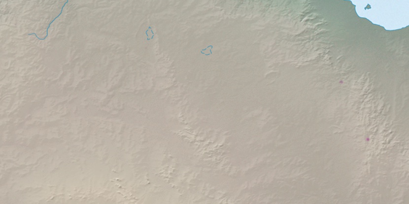
Marker is showing location of Phillip Creek Landing Ground on map(s). You can click on marker if you want to hide it.
 T: 0.00884 s.
2026 © Location.zone | Terms of use | Contact
 133°
133° 152°
152° 115°
115° 232°
232° 140°
140° 5°
5° 312°
312°