Argyle Airport, (airport) is located in Western Australia, in Australia (Australia). It is placed in GMT+8 time zone with current time of 06:28 PM, Thursday. Offset from your time zone: minutes.
| Latitude | 

|
|
| decimal | -16.6369 | |
| DMS | 16° 38' 12.84" S | |
| Distances from | ||
| North pole | 11856.9 km | |
| Equator | 1849.8 km | |
| South pole | 8157.2 km | |
| Longitude | 
|
|
| decimal | 128.451 | |
| DMS | 128° 27' 3.6" E | |
| Distance from prime meridian: 13261.4 km to East |
||
List of nearest places sort by population
Darwin 530.8 km 28°
28° 59°
59° 18°28°
 261°28°28°28°31°
 205°
205°

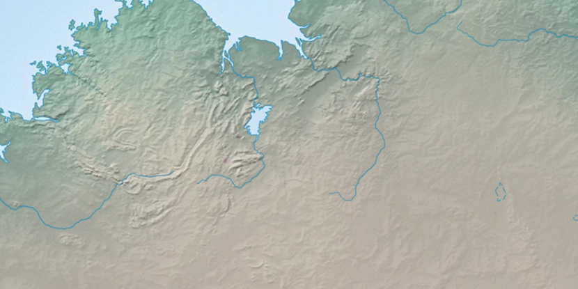
Marker is showing location of Argyle Airport on map(s). You can click on marker if you want to hide it.
 T: 0.00957 s.
2026 © Location.zone | Terms of use | Contact
 130°
130° 145°
145° 115°
115° 216°
216° 135°
135° 11°
11° 312°
312° 304°
304° 96°
96°