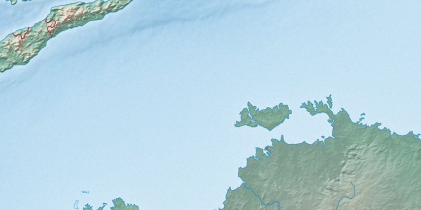
Bathurst Island Airport, (airport) is located in Northern Territory, in Australia (Australia). It is placed in GMT+9:30 time zone with current time of 11:46 AM, Monday. Offset from your time zone: minutes.
| Latitude | 

|
|
| decimal | -11.76822 | |
| DMS | 11° 46' 5.592" S | |
| Distances from | ||
| North pole | 11315.6 km | |
| Equator | 1308.5 km | |
| South pole | 8698.6 km | |
| Longitude | 
|
|
| decimal | 130.61779 | |
| DMS | 130° 37' 4.044" E | |
| Distance from prime meridian: 13967.1 km to East |
||
List of nearest places sort by population
Darwin 80.8 km 162°
162° 153°155°162°159°163°161°161°160°151°

Marker is showing location of Bathurst Island Airport on map(s). You can click on marker if you want to hide it.
 T: 0.00922 s.
2026 © Location.zone | Terms of use | Contact
 139°
139° 126°
126° 213°
213° 10°
10° 310°
310° 302°
302° 98°
98°