Coolibah, (airport) is located in Northern Territory, in Australia (Australia). It is placed in GMT+9:30 time zone with current time of 09:43 AM, Friday. Offset from your time zone: minutes.
| Latitude | 

|
|
| decimal | -15.6667 | |
| DMS | 15° 40' 0.12" S | |
| Distances from | ||
| North pole | 11749 km | |
| Equator | 1742 km | |
| South pole | 8265.1 km | |
| Longitude | 
|
|
| decimal | 130.967 | |
| DMS | 130° 58' 1.2" E | |
| Distance from prime meridian: 13602.6 km to East |
||
List of nearest places sort by population
Darwin 356.7 km 357°
357° 0°
0° 46°
46° 267°2°357°357°357°357°1°

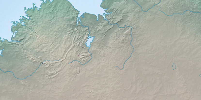
Marker is showing location of Coolibah on map(s). You can click on marker if you want to hide it.
 T: 0.01007 s.
2026 © Location.zone | Terms of use | Contact
 134°
134° 150°
150° 119°
119° 220°
220° 160°
160° 140°
140° 9°
9° 311°
311° 303°
303° 97°
97°