Inverway Airport, (airport) is located in Northern Territory, in Australia (Australia). It is placed in GMT+9:30 time zone with current time of 01:33 PM, Tuesday. Offset from your time zone: minutes.
| Latitude | 

|
|
| decimal | -17.8411 | |
| DMS | 17° 50' 27.96" S | |
| Distances from | ||
| North pole | 11990.8 km | |
| Equator | 1983.7 km | |
| South pole | 8023.3 km | |
| Longitude | 
|
|
| decimal | 129.64301 | |
| DMS | 129° 38' 34.836" E | |
| Distance from prime meridian: 13227.5 km to East |
||
List of nearest places sort by population
Darwin 611.9 km 12°13°
 36°
36° 337°
337° 15°
15° 112°12°12°14°
 258°
258°

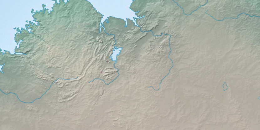
Marker is showing location of Inverway Airport on map(s). You can click on marker if you want to hide it.
 T: 0.00973 s.
2026 © Location.zone | Terms of use | Contact
 129°
129° 146°
146° 221°
221° 135°
135° 312°
312° 304°
304° 96°
96°