Yorke Island Airport, (airport) is located in Queensland, in Australia (Australia). It is placed in GMT+10 time zone with current time of 06:13 PM, Wednesday. Offset from your time zone: minutes.
| Latitude | 

|
|
| decimal | -9.75288 | |
| DMS | 9° 45' 10.368" S | |
| Distances from | ||
| North pole | 11091.5 km | |
| Equator | 1084.4 km | |
| South pole | 8922.6 km | |
| Longitude | 
|
|
| decimal | 143.40531 | |
| DMS | 143° 24' 19.116" E | |
| Distance from prime meridian: 15420.8 km to East |
||
List of nearest places sort by population
Redlynch 830.7 km 162°162°
 249°163°
 207°162°
 234°163°162°162°

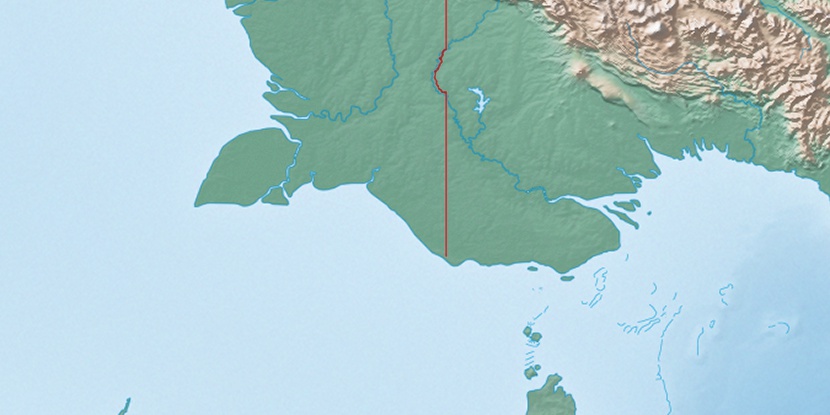
Marker is showing location of Yorke Island Airport on map(s). You can click on marker if you want to hide it.
 T: 0.00961 s.
2026 © Location.zone | Terms of use | Contact
 177°
177° 152°
152° 189°
189° 168°
168° 355°
355° 306°
306° 298°
298° 100°
100°