Carbunup Bridge, (bridge) is located in Western Australia, in Australia (Australia). It is placed in GMT+8 time zone with current time of 11:42 AM, Tuesday. Offset from your time zone: minutes.
| Latitude | 

|
|
| decimal | -33.69881 | |
| DMS | 33° 41' 55.716" S | |
| Distances from | ||
| North pole | 13754 km | |
| Equator | 3747 km | |
| South pole | 6260.1 km | |
| Longitude | 
|
|
| decimal | 115.1887 | |
| DMS | 115° 11' 19.32" E | |
| Distance from prime meridian: 9922.7 km to East |
||
List of nearest places sort by population
Bunbury 58.9 km 45°
45° 70°
70° 200°
200° 320°
320° 76°65°
 57°64°
 292°
292° 332°
332°

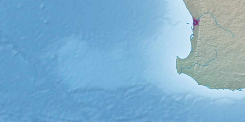
Marker is showing location of Carbunup Bridge on map(s). You can click on marker if you want to hide it.
 T: 0.01177 s.
2026 © Location.zone | Terms of use | Contact
 90°
90° 99°
99° 17°
17° 313°
313°