Cape Keerweer, (cape) is located in Queensland, in Australia (Australia). It is placed in GMT+10 time zone with current time of 06:18 AM, Wednesday. Offset from your time zone: minutes.
| Latitude | 

|
|
| decimal | -13.94381 | |
| DMS | 13° 56' 37.716" S | |
| Distances from | ||
| North pole | 11557.5 km | |
| Equator | 1550.4 km | |
| South pole | 8456.7 km | |
| Longitude | 
|
|
| decimal | 141.48105 | |
| DMS | 141° 28' 51.78" E | |
| Distance from prime meridian: 14761.3 km to East |
||
List of nearest places sort by population
Mareeba 541.5 km 128°
128° 124°
124° 291°123°
 16°
16° 12°
12° 112°124°125°
 271°
271°

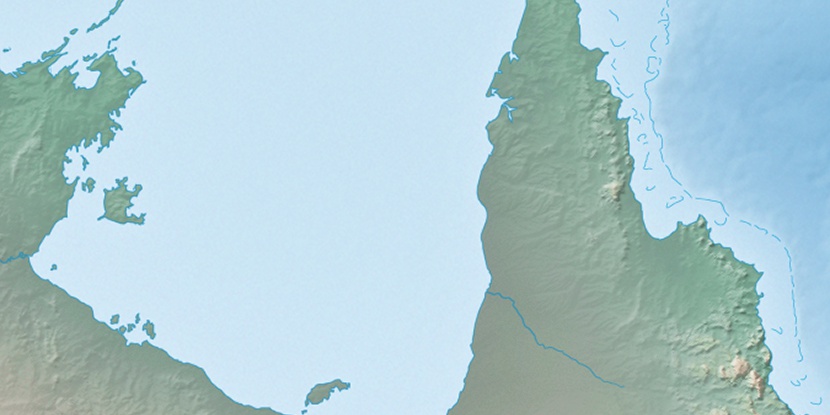
Marker is showing location of Cape Keerweer on map(s). You can click on marker if you want to hide it.
 T: 0.00877 s.
2026 © Location.zone | Terms of use | Contact
 156°
156° 172°
172° 141°
141° 232°
232° 187°
187° 153°
153° 358°
358° 308°
308° 98°
98° 300°
300°