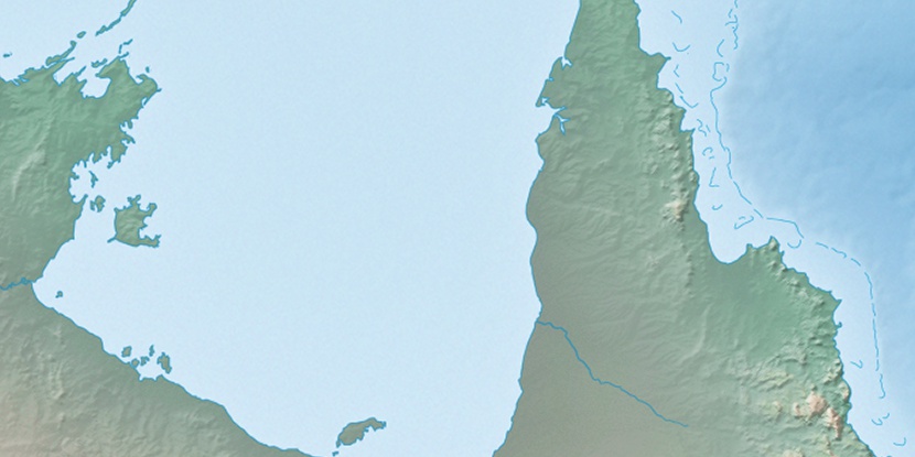
Pera Head, (headland) is located in Queensland, in Australia (Australia). It is placed in GMT+10 time zone with current time of 07:40 AM, Friday. Offset from your time zone: minutes.
| Latitude | 

|
|
| decimal | -12.95378 | |
| DMS | 12° 57' 13.608" S | |
| Distances from | ||
| North pole | 11447.4 km | |
| Equator | 1440.3 km | |
| South pole | 8566.7 km | |
| Longitude | 
|
|
| decimal | 141.60245 | |
| DMS | 141° 36' 8.82" E | |
| Distance from prime meridian: 14894.4 km to East |
||
List of nearest places sort by population
Mareeba 608.1 km 137°
137° 134°
134° 279°133°
 39°
39° 14°125°134°134°
 259°
259°

Marker is showing location of Pera Head on map(s). You can click on marker if you want to hide it.
 T: 0.00904 s.
2026 © Location.zone | Terms of use | Contact
 157°
157° 173°
173° 231°
231° 187°
187° 357°
357° 307°
307° 300°
300° 98°
98°