Wilgibanda Hill, (hill) is located in Northern Territory, in Australia (Australia). It is placed in GMT+9:30 time zone with current time of 09:30 AM, Sunday. Offset from your time zone: minutes.
| Latitude | 

|
|
| decimal | -21.06085 | |
| DMS | 21° 3' 39.06" S | |
| Distances from | ||
| North pole | 12348.8 km | |
| Equator | 2341.7 km | |
| South pole | 7665.3 km | |
| Longitude | 
|
|
| decimal | 132.32875 | |
| DMS | 132° 19' 43.5" E | |
| Distance from prime meridian: 13032.8 km to East |
||
List of nearest places sort by population
Alice Springs 333.9 km 151°
151° 87°
87° 359°
359° 327°
327° 352°
352° 51°87°
 164°
164° 28°
28° 302°
302°

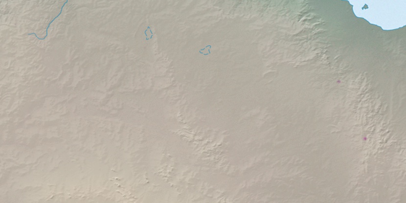
Marker is showing location of Wilgibanda Hill on map(s). You can click on marker if you want to hide it.
 T: 0.0333 s.
2026 © Location.zone | Terms of use | Contact
 127°
127° 108°
108° 233°
233° 124°
124° 7°
7° 313°
313° 95°
95°