Cornelia Range, (hills) is located in Western Australia, in Australia (Australia). It is placed in GMT+8 time zone with current time of 07:51 AM, Friday. Offset from your time zone: minutes.
| Latitude | 

|
|
| decimal | -24.67435 | |
| DMS | 24° 40' 27.66" S | |
| Distances from | ||
| North pole | 12750.6 km | |
| Equator | 2743.5 km | |
| South pole | 7263.5 km | |
| Longitude | 
|
|
| decimal | 122.71154 | |
| DMS | 122° 42' 41.544" E | |
| Distance from prime meridian: 11761.7 km to East |
||
List of nearest places sort by population
Kalgoorlie 686 km 190°
190° 319°
319° 306°190°
 295°
295° 236°187°
 293°307°287°

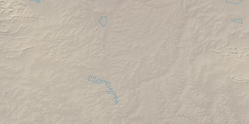
Marker is showing location of Cornelia Range on map(s). You can click on marker if you want to hide it.
 T: 0.00876 s.
2026 © Location.zone | Terms of use | Contact
 110°
110° 124°
124° 95°
95° 219°
219° 126°
126° 14°
14° 93°
93°