Curtis Pound, (homestead) is located in Northern Territory, in Australia (Australia). It is placed in GMT+9:30 time zone with current time of 03:16 AM, Tuesday. Offset from your time zone: minutes.
| Latitude | 

|
|
| decimal | -20.65 | |
| DMS | 20° 39' 0" S | |
| Distances from | ||
| North pole | 12303.1 km | |
| Equator | 2296.1 km | |
| South pole | 7711 km | |
| Longitude | 
|
|
| decimal | 134.45 | |
| DMS | 134° 27' 0" E | |
| Distance from prime meridian: 13260.8 km to East |
||
List of nearest places sort by population
Alice Springs 343.8 km 189°
189° 90°
90° 341°
341° 311°338°
 346°90°
 178°
178° 15°
15° 290°
290°

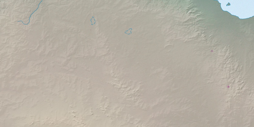
Marker is showing location of Curtis Pound on map(s). You can click on marker if you want to hide it.
 T: 0.01078 s.
2026 © Location.zone | Terms of use | Contact
 131°
131° 152°
152° 111°
111° 235°
235° 165°
165° 138°
138° 5°
5° 95°
95° 304°
304°