Kaloyari, (homestead) is located in Western Australia, in Australia (Australia). It is placed in GMT+8 time zone with current time of 01:08 AM, Tuesday. Offset from your time zone: minutes.
| Latitude | 

|
|
| decimal | -29.96043 | |
| DMS | 29° 57' 37.548" S | |
| Distances from | ||
| North pole | 13338.3 km | |
| Equator | 3331.3 km | |
| South pole | 6675.8 km | |
| Longitude | 
|
|
| decimal | 115.1587 | |
| DMS | 115° 9' 31.32" E | |
| Distance from prime meridian: 10451.4 km to East |
||
List of nearest places sort by population
Geraldton 141.6 km 338°
338° 165°339°166°
 132°344°
 196°342°
 124°344°

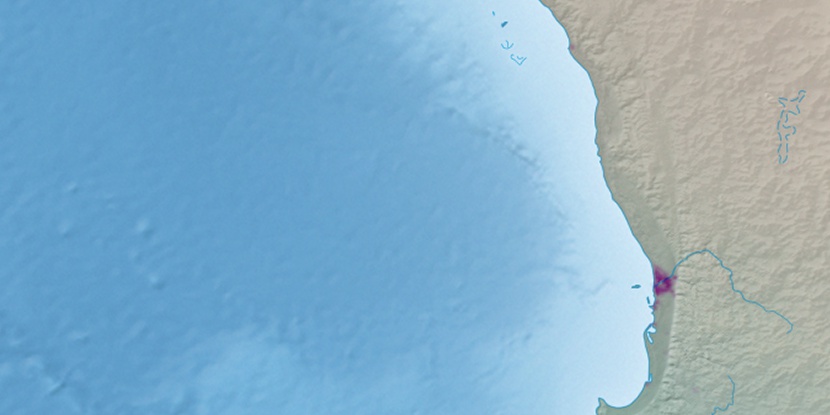
Marker is showing location of Kaloyari on map(s). You can click on marker if you want to hide it.
 T: 0.02198 s.
2026 © Location.zone | Terms of use | Contact
 97°
97° 107°
107° 85°
85° 163°
163° 19°
19° 321°
321° 312°
312°