Rolling Plains, (homestead) is located in Western Australia, in Australia (Australia). It is placed in GMT+8 time zone with current time of 08:28 AM, Sunday. Offset from your time zone: minutes.
| Latitude | 

|
|
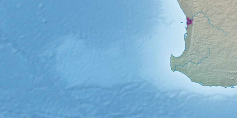
| decimal | -33.87298 | |
| DMS | 33° 52' 22.728" S | |
| Distances from | ||
| North pole | 13773.4 km | |
| Equator | 3766.3 km | |
| South pole | 6240.7 km | |
| Longitude | 
|
|
| decimal | 115.0729 | |
| DMS | 115° 4' 22.44" E | |
| Distance from prime meridian: 9889.1 km to East |
||
List of nearest places sort by population
Busselton 35.2 km 45°
45° 178°
178° 6°
6° 64°52°
 170°
170° 35°54°
 352°14°

Marker is showing location of Rolling Plains on map(s). You can click on marker if you want to hide it.
 T: 0.02295 s.
2026 © Location.zone | Terms of use | Contact
 89°
89° 99°
99° 78°
78° 19°
19° 323°
323° 313°
313°