Collison Range, (mountains) is located in Western Australia, in Australia (Australia). It is placed in GMT+8 time zone with current time of 07:51 AM, Friday. Offset from your time zone: minutes.
| Latitude | 

|
|
| decimal | -14.81667 | |
| DMS | 14° 49' 0.012" S | |
| Distances from | ||
| North pole | 11654.5 km | |
| Equator | 1647.5 km | |
| South pole | 8359.6 km | |
| Longitude | 
|
|
| decimal | 127.41667 | |
| DMS | 127° 25' 0.012" E | |
| Distance from prime meridian: 13361 km to East |
||
List of nearest places sort by population
Darwin 453.4 km 54°
54° 56°
56° 126°54°53°54°54°54°54°
 175°
175°

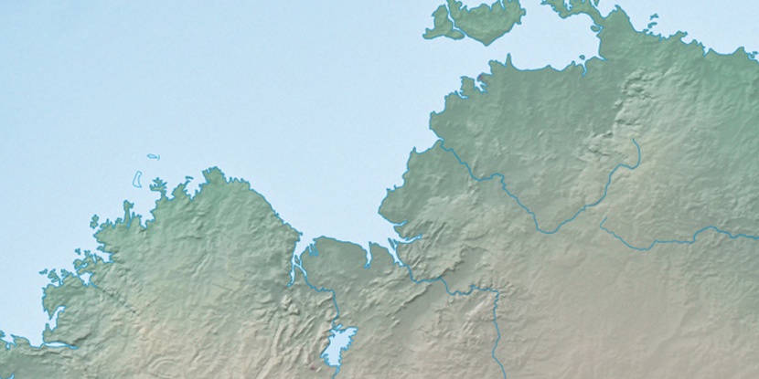
Marker is showing location of Collison Range on map(s). You can click on marker if you want to hide it.
 T: 0.0106 s.
2026 © Location.zone | Terms of use | Contact
 145°
145° 117°
117° 211°
211° 136°
136° 12°
12° 312°
312° 304°
304° 97°
97°