Lee Steere Range, (mountains) is located in Western Australia, in Australia (Australia). It is placed in GMT+8 time zone with current time of 05:44 AM, Friday. Offset from your time zone: minutes.
| Latitude | 

|
|
| decimal | -25.61667 | |
| DMS | 25° 37' 0.012" S | |
| Distances from | ||
| North pole | 12855.4 km | |
| Equator | 2848.3 km | |
| South pole | 7158.8 km | |
| Longitude | 
|
|
| decimal | 122.21667 | |
| DMS | 122° 13' 0.012" E | |
| Distance from prime meridian: 11594.1 km to East |
||
List of nearest places sort by population
Kalgoorlie 575 km 187°
187° 327°
327° 314°187°
 315°
315° 242°
242° 184°305°316°
 300°
300°

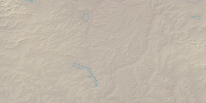
Marker is showing location of Lee Steere Range on map(s). You can click on marker if you want to hide it.
 T: 0.01059 s.
2026 © Location.zone | Terms of use | Contact
 108°
108° 122°
122° 93°
93° 221°
221° 15°
15°