Wadara Range, (mountains) is located in Western Australia, in Australia (Australia). It is placed in GMT+8 time zone with current time of 08:29 PM, Wednesday. Offset from your time zone: minutes.
| Latitude | 

|
|
| decimal | -23.01315 | |
| DMS | 23° 0' 47.34" S | |
| Distances from | ||
| North pole | 12565.9 km | |
| Equator | 2558.8 km | |
| South pole | 7448.2 km | |
| Longitude | 
|
|
| decimal | 121.16493 | |
| DMS | 121° 9' 53.748" E | |
| Distance from prime meridian: 11852.1 km to East |
||
List of nearest places sort by population
Port Hedland 399.8 km 318°
318° 11°
11° 299°
299° 255°299°
 275°299°301°
 266°299°

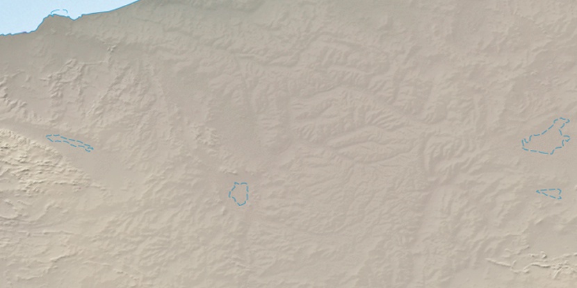
Marker is showing location of Wadara Range on map(s). You can click on marker if you want to hide it.
 T: 0.01055 s.
2026 © Location.zone | Terms of use | Contact
 112°
112° 125°
125° 98°
98° 207°
207° 116°
116° 16°
16° 308°
308° 94°
94°