Collier Range National Park, (park) is located in Western Australia, in Australia (Australia). It is placed in GMT+8 time zone with current time of 04:41 PM, Thursday. Offset from your time zone: minutes.
| Latitude | 

|
|
| decimal | -24.66534 | |
| DMS | 24° 39' 55.224" S | |
| Distances from | ||
| North pole | 12749.6 km | |
| Equator | 2742.5 km | |
| South pole | 7264.5 km | |
| Longitude | 
|
|
| decimal | 119.193 | |
| DMS | 119° 11' 34.8" E | |
| Distance from prime meridian: 11476.8 km to East |
||
List of nearest places sort by population
Port Hedland 487.7 km 352°
352° 331°
331° 20°
20° 212°330°326°330°334°
 316°330°

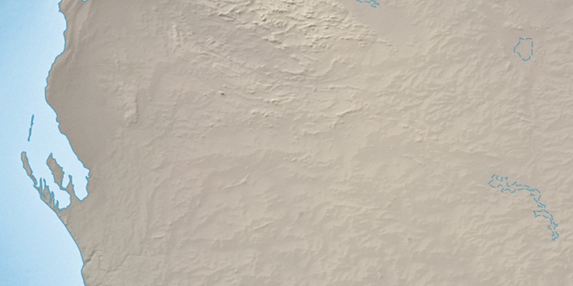
Marker is showing location of Collier Range National Park on map(s). You can click on marker if you want to hide it.
 T: 0.03116 s.
2026 © Location.zone | Terms of use | Contact
 108°
108° 120°
120° 95°
95° 201°
201° 309°
309° 93°
93°