Oliver Rock, (rock) is located in Western Australia, in Australia (Australia). It is placed in GMT+8 time zone with current time of 09:14 PM, Monday. Offset from your time zone: minutes.
| Latitude | 

|
|
| decimal | -13.975 | |
| DMS | 13° 58' 30" S | |
| Distances from | ||
| North pole | 11560.9 km | |
| Equator | 1553.9 km | |
| South pole | 8453.2 km | |
| Longitude | 
|
|
| decimal | 125.55833 | |
| DMS | 125° 33' 29.988" E | |
| Distance from prime meridian: 13264.3 km to East |
||
List of nearest places sort by population
Darwin 596.1 km 73°
73° 218°
218° 120°73°
 209°73°73°73°73°
 154°
154°

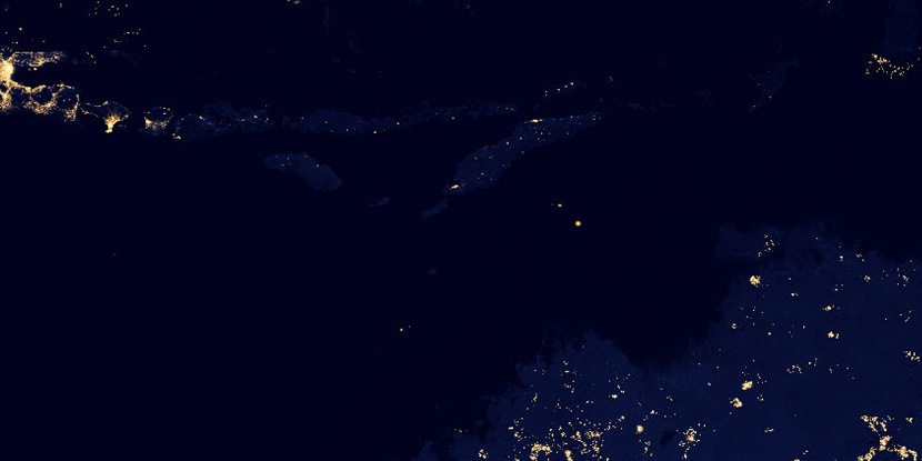
Marker is showing location of Oliver Rock on map(s). You can click on marker if you want to hide it.
 T: 0.01128 s.
2026 © Location.zone | Terms of use | Contact
 130°
130° 144°
144° 15°
15° 312°
312° 304°
304° 97°
97°