Isla Tierra del Fuego Airport, (airfield) is located in Magallanes, in Chile (America). It is placed in GMT-4 time zone with current time of 01:19 AM, Monday. Offset from your time zone: minutes.
| Latitude | 

|
|
| decimal | -52.9833 | |
| DMS | 52° 58' 59.88" S | |
| Distances from | ||
| North pole | 15898.3 km | |
| Equator | 5891.2 km | |
| South pole | 4115.9 km | |
| Longitude | 
|
|
| decimal | -70.04913 | |
| DMS | 70° 2' 56.868" W | |
| Distance from prime meridian: 4495.2 km to West |
||
List of nearest places sort by population
Punta Arenas 60.7 km 251°
251° 349°
349° 310°347°
 344°348°350°352°346°350°

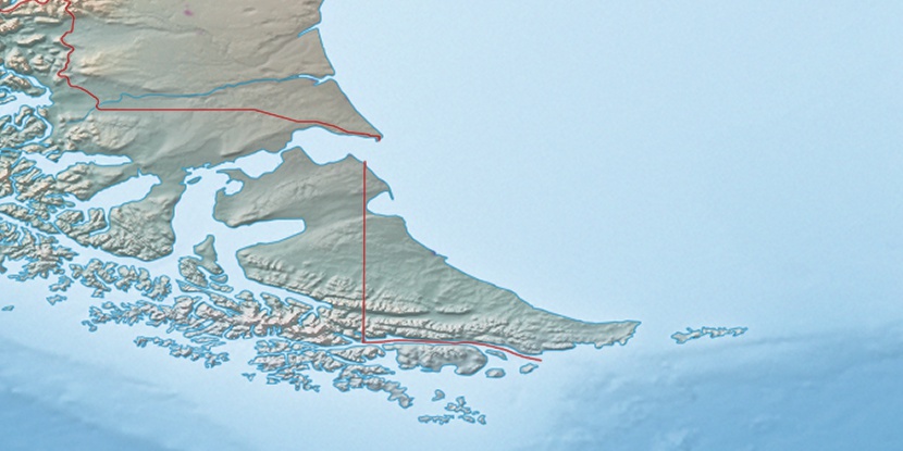
Marker is showing location of Isla Tierra del Fuego Airport on map(s). You can click on marker if you want to hide it.
 T: 0.00188 s.
2026 © Location.zone | Terms of use | Contact
 358°
358° 280°
280° 29°
29° 39°
39° 303°
303°