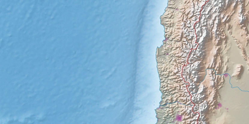
Cerro Río Hurtado, (boundary marker) is located in Coquimbo, in Chile (America). It is placed in GMT-4 time zone with current time of 01:18 PM, Saturday. Offset from your time zone: minutes.
| Latitude | 

|
|
| decimal | -30.59305 | |
| DMS | 30° 35' 34.98" S | |
| Distances from | ||
| North pole | 13408.7 km | |
| Equator | 3401.6 km | |
| South pole | 6605.4 km | |
| Longitude | 
|
|
| decimal | -70.31546 | |
| DMS | 70° 18' 55.656" W | |
| Distance from prime meridian: 6607.8 km to West |
||
List of nearest places sort by population
Coquimbo 121.4 km 305°310°
 269°
269° 189°
189° 349°
349° 202°
202° 215°
215° 259°
259° 328°
328° 205°
205°

Marker is showing location of Cerro Río Hurtado on map(s). You can click on marker if you want to hide it.
 T: 0.00191 s.
2026 © Location.zone | Terms of use | Contact
 184°
184° 359°
359° 0°
0° 37°
37° 47°
47° 295°
295°