Paso Kalau, (marine channel) is located in Magallanes, in Chile (America). It is placed in GMT-4 time zone with current time of 05:31 PM, Saturday. Offset from your time zone: minutes.
| Latitude | 

|
|
| decimal | -49.15281 | |
| DMS | 49° 9' 10.116" S | |
| Distances from | ||
| North pole | 15472.3 km | |
| Equator | 5465.3 km | |
| South pole | 4541.8 km | |
| Longitude | 
|
|
| decimal | -75.22389 | |
| DMS | 75° 13' 26.004" W | |
| Distance from prime meridian: 5231.8 km to West |
||
List of nearest places sort by population
Punta Arenas 536.9 km 145°
145° 30°145°
 24°
24° 42°21°41°23°23°20°

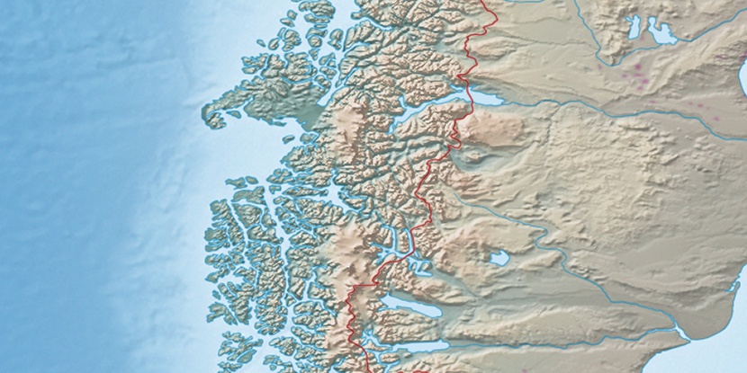
Marker is showing location of Paso Kalau on map(s). You can click on marker if you want to hide it.
 T: 0.00268 s.
2026 © Location.zone | Terms of use | Contact
 12°
12° 278°
278° 303°
303°