Puerto Herradura, (cove(s)) is located in Aisén, in Chile (America). It is placed in GMT-4 time zone with current time of 05:47 PM, Saturday. Offset from your time zone: minutes.
| Latitude | 

|
|
| decimal | -47.26781 | |
| DMS | 47° 16' 4.116" S | |
| Distances from | ||
| North pole | 15262.7 km | |
| Equator | 5255.7 km | |
| South pole | 4751.4 km | |
| Longitude | 
|
|
| decimal | -72.48264 | |
| DMS | 72° 28' 57.504" W | |
| Distance from prime meridian: 5259.5 km to West |
||
List of nearest places sort by population
Coihaique 190.9 km 9°
9° 349°
349° 355°
355° 281°356°
 35°6°7°352°
 0°
0°

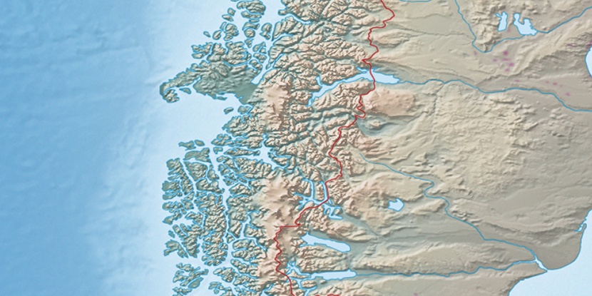
Marker is showing location of Puerto Herradura on map(s). You can click on marker if you want to hide it.
 T: 0.00392 s.
2026 © Location.zone | Terms of use | Contact
 32°
32° 301°
301°