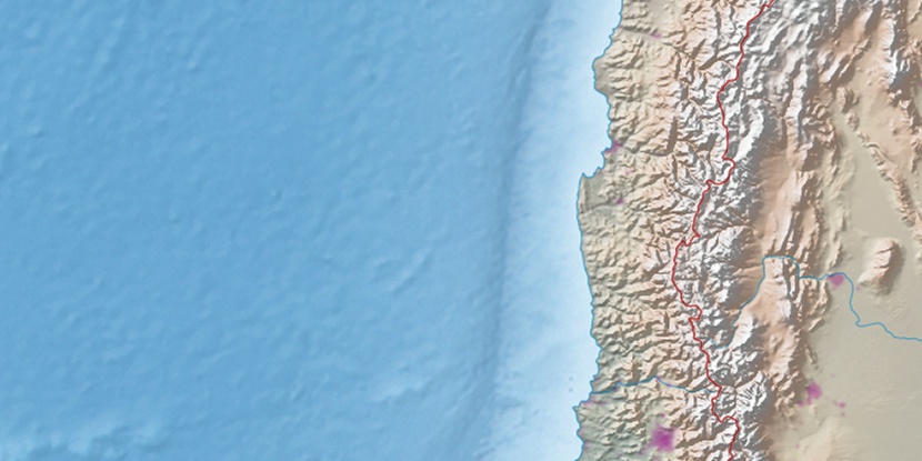
Cerro Pan de Azúcar, (hill) is located in Coquimbo, in Chile (America). It is placed in GMT-4 time zone with current time of 03:18 PM, Saturday. Offset from your time zone: minutes.
| Latitude | 

|
|
| decimal | -29.991 | |
| DMS | 29° 59' 27.6" S | |
| Distances from | ||
| North pole | 13341.7 km | |
| Equator | 3334.7 km | |
| South pole | 6672.4 km | |
| Longitude | 
|
|
| decimal | -71.26532 | |
| DMS | 71° 15' 55.152" W | |
| Distance from prime meridian: 6738.9 km to West |
||
List of nearest places sort by population
Coquimbo 8.3 km 300°
300° 9°
9° 17°
17° 174°17°
 179°177°
 159°
159° 95°171°

Marker is showing location of Cerro Pan de Azúcar on map(s). You can click on marker if you want to hide it.
 T: 0.00615 s.
2026 © Location.zone | Terms of use | Contact
 185°
185° 37°
37° 268°
268° 47°
47°