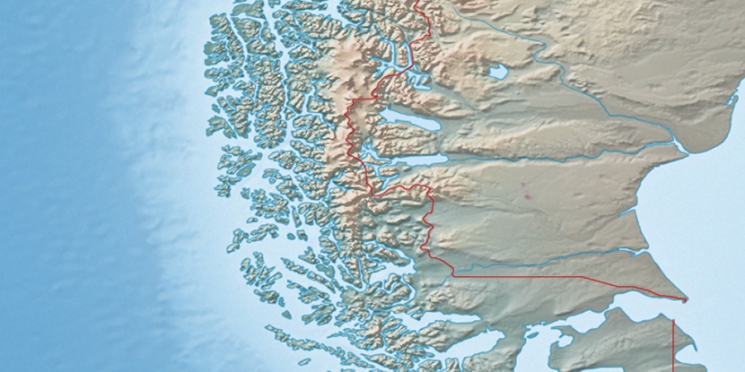
Cabo Topón, (point) is located in Magallanes, in Chile (America). It is placed in GMT-4 time zone with current time of 02:00 PM, Saturday. Offset from your time zone: minutes.
| Latitude | 

|
|
| decimal | -50.90422 | |
| DMS | 50° 54' 15.192" S | |
| Distances from | ||
| North pole | 15667.1 km | |
| Equator | 5660 km | |
| South pole | 4347 km | |
| Longitude | 
|
|
| decimal | -74.66633 | |
| DMS | 74° 39' 58.788" W | |
| Distance from prime meridian: 5000.1 km to West |
||
List of nearest places sort by population
Punta Arenas 358.5 km 134°
134° 17°
17° 121°
121° 13°20°12°23°14°12°12°

Marker is showing location of Cabo Topón on map(s). You can click on marker if you want to hide it.
 T: 0.00772 s.
2026 © Location.zone | Terms of use | Contact
 4°
4° 279°
279° 31°
31° 35°
35° 303°
303°