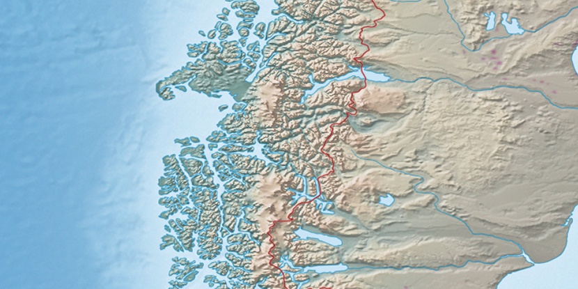
Cerro Tamanguito, (spur(s)) is located in Aisén, in Chile (America). It is placed in GMT-4 time zone with current time of 01:42 AM, Sunday. Offset from your time zone: minutes.
| Latitude | 

|
|
| decimal | -47.17432 | |
| DMS | 47° 10' 27.552" S | |
| Distances from | ||
| North pole | 15252.4 km | |
| Equator | 5245.3 km | |
| South pole | 4761.8 km | |
| Longitude | 
|
|
| decimal | -72.4657 | |
| DMS | 72° 27' 56.52" W | |
| Distance from prime meridian: 5268.2 km to West |
||
List of nearest places sort by population
Coihaique 180.4 km 9°
9° 348°354°
 220°
220° 356°
356° 38°6°7°351°
 0°
0°

Marker is showing location of Cerro Tamanguito on map(s). You can click on marker if you want to hide it.
 T: 0.00264 s.
2026 © Location.zone | Terms of use | Contact
 277°
277° 32°
32° 301°
301°