Platges de Peguera, (beaches) is located in Balearic Islands, in Spain (Europe). It is placed in GMT+2 time zone with current time of 03:30 PM, Friday. Offset from your time zone: minutes.
| Latitude | 

|
|
| decimal | 39.53333 | |
| DMS | 39° 31' 59.988" N | |
| Distances from | ||
| North pole | 5611.4 km | |
| Equator | 4395.7 km | |
| South pole | 14402.8 km | |
| Longitude | 
|
|
| decimal | 2.45 | |
| DMS | 2° 27' 0" E | |
| Distance from prime meridian: 210.1 km to East |
||
List of nearest places sort by population
Palma 17.6 km 76°
76° 53°
53° 331°
331° 140°
140° 132°
132° 108°
108° 340°
340° 152°
152° 33°
33° 283°
283°

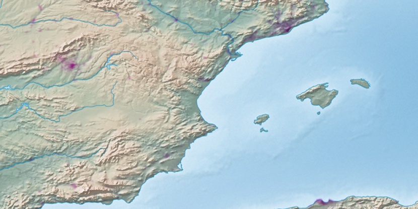
Marker is showing location of Platges de Peguera on map(s). You can click on marker if you want to hide it.
 T: 0.01231 s.
2026 © Location.zone | Terms of use | Contact
 353°
353° 268°
268° 251°
251° 310°
310° 242°
242° 232°
232° 55°
55° 92°
92° 222°
222° 118°
118°