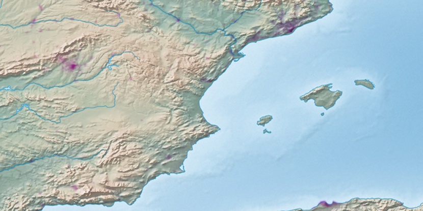
Port de Santa Pola, (port) is located in Valencia, in Spain (Europe). It is placed in GMT+2 time zone with current time of 08:13 AM, Monday. Offset from your time zone: minutes.
| Latitude | 

|
|
| decimal | 38.18946 | |
| DMS | 38° 11' 22.056" N | |
| Distances from | ||
| North pole | 5760.8 km | |
| Equator | 4246.3 km | |
| South pole | 14253.3 km | |
| Longitude | 
|
|
| decimal | -0.56125 | |
| DMS | 0° 33' 40.5" W | |
| Distance from prime meridian: 49 km to West |
||
List of nearest places sort by population
Alicante 18.7 km 21°
21° 303°301°
 231°
231° 216°
216° 253°
253° 261°231°234°
 244°
244°

Marker is showing location of Port de Santa Pola on map(s). You can click on marker if you want to hide it.
 T: 0.01273 s.
2026 © Location.zone | Terms of use | Contact
 312°
312° 33°
33° 6°
6° 356°
356° 61°
61° 340°
340° 1°
1° 91°
91° 117°
117°