Le Tréhou, (fourth-order administrative division) is located in Brittany, in France (Europe). It is placed in GMT+2 time zone with current time of 08:47 PM, Monday. Offset from your time zone: minutes.
| Latitude | 

|
|
| decimal | 48.39389 | |
| DMS | 48° 23' 38.004" N | |
| Distances from | ||
| North pole | 4626.2 km | |
| Equator | 5380.9 km | |
| South pole | 15388 km | |
| Longitude | 
|
|
| decimal | -4.13139 | |
| DMS | 4° 7' 53.004" W | |
| Distance from prime meridian: 305 km to West |
||
List of nearest places sort by population
Landerneau 11.1 km 306°
306° 272°
272° 79°
79° 248°
248° 329°
329° 227°
227° 195°
195° 300°
300° 275°246°

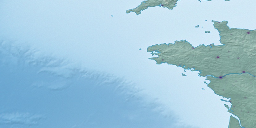
Marker is showing location of Le Tréhou on map(s). You can click on marker if you want to hide it.
 T: 0.03934 s.
2026 © Location.zone | Terms of use | Contact
 127°
127° 113°
113° 141°
141° 120°
120° 88°
88° 145°
145° 64°
64° 39°
39° 69°
69° 96°
96° 216°
216°