Plouvara, (fourth-order administrative division) is located in Brittany, in France (Europe). It is placed in GMT+2 time zone with current time of 08:47 PM, Monday. Offset from your time zone: minutes.
| Latitude | 

|
|
| decimal | 48.50694 | |
| DMS | 48° 30' 24.984" N | |
| Distances from | ||
| North pole | 4613.6 km | |
| Equator | 5393.5 km | |
| South pole | 15400.5 km | |
| Longitude | 
|
|
| decimal | -2.91528 | |
| DMS | 2° 54' 55.008" W | |
| Distance from prime meridian: 214.7 km to West |
||
List of nearest places sort by population
Ploufragan 9.1 km 100°
100° 336°
336° 297°
297° 129°
129° 69°
69° 151°147°
 180°98°
 276°
276°

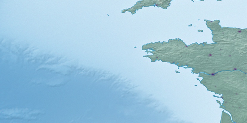
Marker is showing location of Plouvara on map(s). You can click on marker if you want to hide it.
 T: 0.03877 s.
2026 © Location.zone | Terms of use | Contact
 84°
84° 117°
117° 144°
144° 89°
89° 156°
156° 61°
61° 30°
30° 216°
216°