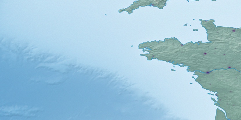
Plage de Port-Donnant, (beach) is located in Brittany, in France (Europe). It is placed in GMT+2 time zone with current time of 10:09 PM, Sunday. Offset from your time zone: minutes.
| Latitude | 

|
|
| decimal | 47.32605 | |
| DMS | 47° 19' 33.78" N | |
| Distances from | ||
| North pole | 4744.9 km | |
| Equator | 5262.2 km | |
| South pole | 15269.2 km | |
| Longitude | 
|
|
| decimal | -3.23625 | |
| DMS | 3° 14' 10.5" W | |
| Distance from prime meridian: 243.9 km to West |
||
List of nearest places sort by population
Quiberon 19.6 km 26°
26° 22°
22° 9°
9° 70°20°17°28°
 57°
57° 39°31°

Marker is showing location of Plage de Port-Donnant on map(s). You can click on marker if you want to hide it.
 T: 0.04107 s.
2026 © Location.zone | Terms of use | Contact
 123°
123° 105°
105° 138°
138° 95°
95° 80°
80° 126°
126° 51°
51° 217°
217°