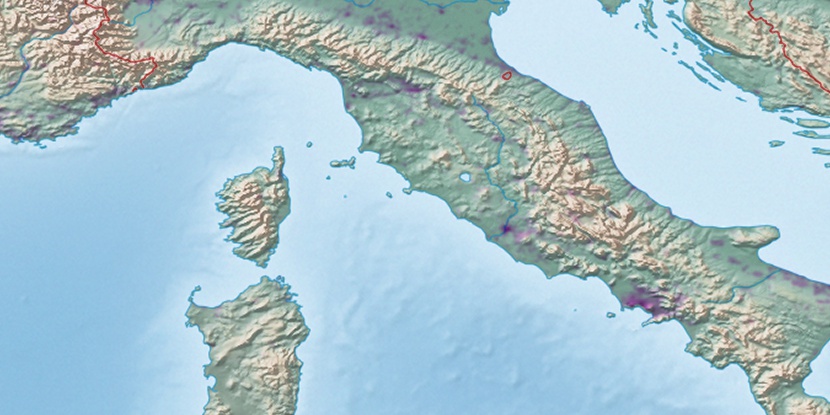
Capu di Bagliu, (peak) is located in Corsica, in France (Europe). It is placed in GMT+2 time zone with current time of 10:54 PM, Sunday. Offset from your time zone: minutes.
| Latitude | 

|
|
| decimal | 42.15678 | |
| DMS | 42° 9' 24.408" N | |
| Distances from | ||
| North pole | 5319.7 km | |
| Equator | 4687.4 km | |
| South pole | 14694.5 km | |
| Longitude | 
|
|
| decimal | 8.65832 | |
| DMS | 8° 39' 29.952" E | |
| Distance from prime meridian: 713.4 km to East |
||
List of nearest places sort by population
Ajaccio 26.3 km 166°
166° 160°
160° 149°
149° 135°
135° 132°150°128°141°156°
 246°
246°

Marker is showing location of Capu di Bagliu on map(s). You can click on marker if you want to hide it.
 T: 0.04504 s.
2026 © Location.zone | Terms of use | Contact
 326°
326° 295°
295° 322°
322° 285°
285° 354°
354° 335°
335° 17°
17° 54°
54° 93°
93° 224°
224° 120°
120°