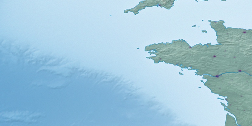
Le Ru, (populated place) is located in Brittany, in France (Europe). It is placed in GMT+2 time zone with current time of 07:16 PM, Tuesday. Offset from your time zone: minutes.
| Latitude | 

|
|
| decimal | 48.73333 | |
| DMS | 48° 43' 59.988" N | |
| Distances from | ||
| North pole | 4588.4 km | |
| Equator | 5418.6 km | |
| South pole | 15425.7 km | |
| Longitude | 
|
|
| decimal | -4 | |
| DMS | 4° 0' 0" W | |
| Distance from prime meridian: 293.3 km to West |
||
List of nearest places sort by population
Saint-Pol-de-Léon 5.7 km 167°
167° 238°
238° 223°
223° 138°139°
 180°
180° 213°206°
 154°213°

Marker is showing location of Le Ru on map(s). You can click on marker if you want to hide it.
 T: 0.04095 s.
2026 © Location.zone | Terms of use | Contact
 88°
88° 129°
129° 116°
116° 67°
67° 41°
41° 97°
97°