Ile Rousse Port, (port) is located in Corsica, in France (Europe). It is placed in GMT+2 time zone with current time of 12:10 PM, Sunday. Offset from your time zone: minutes.
| Latitude | 

|
|
| decimal | 42.64151 | |
| DMS | 42° 38' 29.436" N | |
| Distances from | ||
| North pole | 5265.8 km | |
| Equator | 4741.3 km | |
| South pole | 14748.4 km | |
| Longitude | 
|
|
| decimal | 8.93639 | |
| DMS | 8° 56' 11.004" E | |
| Distance from prime meridian: 730.6 km to East |
||
List of nearest places sort by population
Biguglia 40.7 km 92°
92° 240°87°
 173°
173° 203°
203° 81°
81° 151°91°
 126°
126° 228°
228°

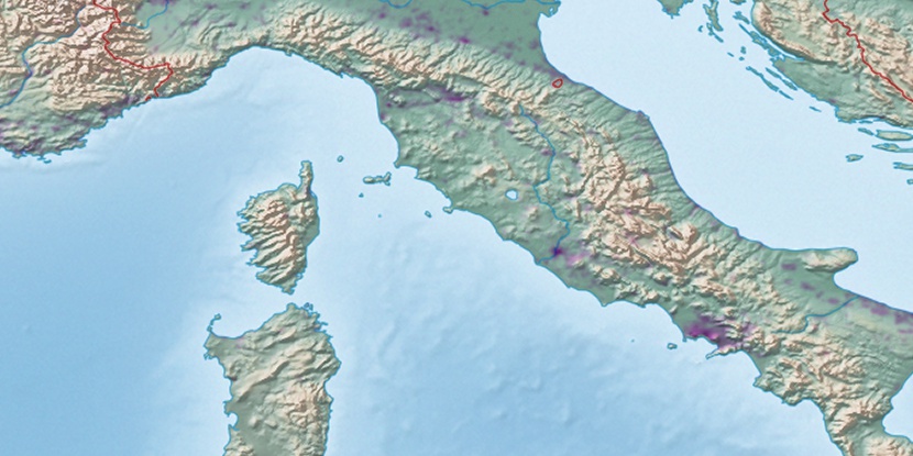
Marker is showing location of Ile Rousse Port on map(s). You can click on marker if you want to hide it.
 T: 0.03726 s.
2026 © Location.zone | Terms of use | Contact
 323°
323° 284°
284° 311°
311° 301°
301° 352°
352° 287°
287° 333°
333° 16°
16° 54°
54° 223°
223° 120°
120°