Le Pot, (rock) is located in Brittany, in France (Europe). It is placed in GMT+2 time zone with current time of 01:18 PM, Sunday. Offset from your time zone: minutes.
| Latitude | 

|
|
| decimal | 47.71306 | |
| DMS | 47° 42' 47.016" N | |
| Distances from | ||
| North pole | 4701.9 km | |
| Equator | 5305.2 km | |
| South pole | 15312.3 km | |
| Longitude | 
|
|
| decimal | -3.36583 | |
| DMS | 3° 21' 56.988" W | |
| Distance from prime meridian: 251.8 km to West |
||
List of nearest places sort by population
Lorient 4.1 km 359°
359° 20°
20° 294°
294° 334°
334° 240°
240° 93°
93° 53°
53° 129°
129° 76°
76° 218°
218°

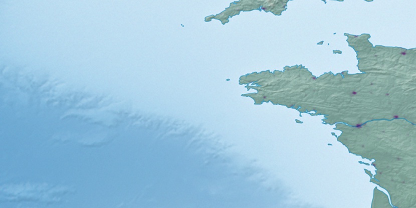
Marker is showing location of Le Pot on map(s). You can click on marker if you want to hide it.
 T: 0.04213 s.
2026 © Location.zone | Terms of use | Contact
 73°
73° 109°
109° 140°
140° 118°
118° 146°
146° 55°
55° 28°
28° 96°
96°