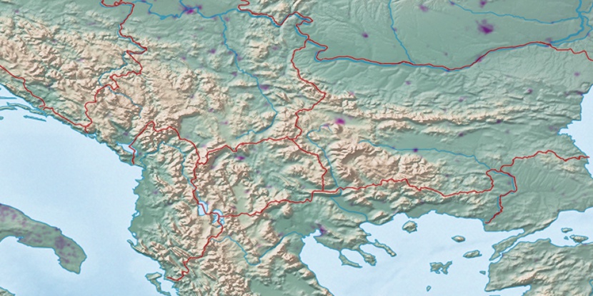
Ákra Kalamítsa, (cape) is located in East Macedonia and Thrace, in Greece (Europe). It is placed in GMT+3 time zone with current time of 05:31 PM, Saturday. Offset from your time zone: minutes.
| Latitude | 

|
|
| decimal | 40.92111 | |
| DMS | 40° 55' 15.996" N | |
| Distances from | ||
| North pole | 5457.1 km | |
| Equator | 4550 km | |
| South pole | 14557.1 km | |
| Longitude | 
|
|
| decimal | 24.39028 | |
| DMS | 24° 23' 25.008" E | |
| Distance from prime meridian: 2042.5 km to East |
||
List of nearest places sort by population
Kavála 2.5 km 34°
34° 266°
266° 219°
219° 322°
322° 331°
331° 241°
241° 66°224°
 355°
355° 275°
275°

Marker is showing location of Ákra Kalamítsa on map(s). You can click on marker if you want to hide it.
 T: 0.00844 s.
2026 © Location.zone | Terms of use | Contact
 190°
190° 255°
255° 229°
229° 173°
173° 252°
252° 302°
302° 93°
93° 122°
122°