Ákra Stamoléka, (cape) is located in Ionian Islands, in Greece (Europe). It is placed in GMT+3 time zone with current time of 02:59 PM, Saturday. Offset from your time zone: minutes.
| Latitude | 

|
|
| decimal | 39.87683 | |
| DMS | 39° 52' 36.588" N | |
| Distances from | ||
| North pole | 5573.2 km | |
| Equator | 4433.9 km | |
| South pole | 14440.9 km | |
| Longitude | 
|
|
| decimal | 19.59072 | |
| DMS | 19° 35' 26.592" E | |
| Distance from prime meridian: 1668.3 km to East |
||
List of nearest places sort by population
Corfu 40 km 135°
135° 151°139°138°138°139°142°143°139°
 115°
115°

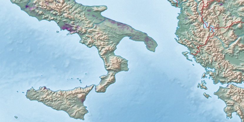
Marker is showing location of Ákra Stamoléka on map(s). You can click on marker if you want to hide it.
 T: 0.00792 s.
2026 © Location.zone | Terms of use | Contact
 73°
73° 134°
134° 96°
96° 341°
341° 310°
310° 37°
37° 92°
92° 228°
228°