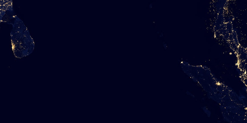
Nicobar Islands, (islands) is located in Andaman and Nicobar Islands, in India (Asia). It is placed in GMT+5:30 time zone with current time of 04:19 AM, Monday. Offset from your time zone: minutes.
| Latitude | 

|
|
| decimal | 8 | |
| DMS | 8° 0' 0" N | |
| Distances from | ||
| North pole | 9117.5 km | |
| Equator | 889.5 km | |
| South pole | 10896.6 km | |
| Longitude | 
|
|
| decimal | 93.5 | |
| DMS | 93° 30' 0" E | |
| Distance from prime meridian: 10265.1 km to East |
||
List of nearest places sort by population
Port Blair 415.9 km 348°
348° 281°282°279°282°283°
 289°281°281°348°

Marker is showing location of Nicobar Islands on map(s). You can click on marker if you want to hide it.
 T: 0.01311 s.
2026 © Location.zone | Terms of use | Contact
 298°
298° 323°
323° 341°
341° 306°
306° 325°
325° 56°
56° 127°
127° 255°
255°