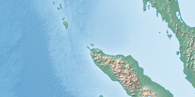
Bananga, (populated place) is located in Andaman and Nicobar Islands, in India (Asia). It is placed in GMT+5:30 time zone with current time of 03:40 PM, Wednesday. Offset from your time zone: minutes.
| Latitude | 

|
|
| decimal | 6.95 | |
| DMS | 6° 57' 0" N | |
| Distances from | ||
| North pole | 9234.3 km | |
| Equator | 772.8 km | |
| South pole | 10779.8 km | |
| Longitude | 
|
|
| decimal | 93.9 | |
| DMS | 93° 54' 0" E | |
| Distance from prime meridian: 10340.9 km to East |
||
List of nearest places sort by population
Port Blair 539.4 km 346°
346° 285°285°285°
 283°286°287°285°285°346°

Marker is showing location of Bananga on map(s). You can click on marker if you want to hide it.
 T: 0.01361 s.
2026 © Location.zone | Terms of use | Contact
 300°
300° 324°
324° 341°
341° 308°
308° 326°
326° 55°
55° 126°
126° 255°
255°