Deruta, (third-order administrative division) is located in Umbria, in Italy (Europe). It is placed in GMT+2 time zone with current time of 09:33 AM, Thursday. Offset from your time zone: minutes.
| Latitude | 

|
|
| decimal | 42.98044 | |
| DMS | 42° 58' 49.584" N | |
| Distances from | ||
| North pole | 5228.1 km | |
| Equator | 4779 km | |
| South pole | 14786 km | |
| Longitude | 
|
|
| decimal | 12.41506 | |
| DMS | 12° 24' 54.216" E | |
| Distance from prime meridian: 1009 km to East |
||
List of nearest places sort by population
Marsciano 8.4 km 218°
218° 21°
21° 350°
350° 319°
319° 186°
186° 32°192°
 53°
53° 58°
58° 327°
327°

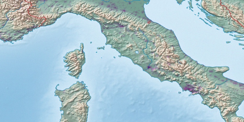
Marker is showing location of Deruta on map(s). You can click on marker if you want to hide it.
 T: 0.04479 s.
2026 © Location.zone | Terms of use | Contact
 176°
176° 147°
147° 301°
301° 171°
171° 313°
313° 159°
159° 119°
119° 3°
3° 94°
94°