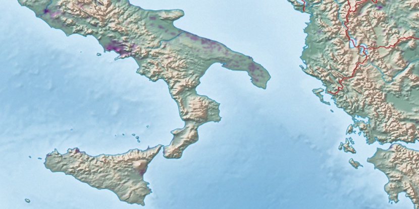
Isola Sant’Andrea, (island) is located in Apulia, in Italy (Europe). It is placed in GMT+2 time zone with current time of 10:46 AM, Thursday. Offset from your time zone: minutes.
| Latitude | 

|
|
| decimal | 40.65 | |
| DMS | 40° 39' 0" N | |
| Distances from | ||
| North pole | 5487.2 km | |
| Equator | 4519.9 km | |
| South pole | 14526.9 km | |
| Longitude | 
|
|
| decimal | 17.95 | |
| DMS | 17° 57' 0" E | |
| Distance from prime meridian: 1511.6 km to East |
||
List of nearest places sort by population
Brindisi 2.3 km 210°
210° 229°
229° 272°
272° 240°
240° 167°
167° 176°
176° 155°181°
 51°177°

Marker is showing location of Isola Sant’Andrea on map(s). You can click on marker if you want to hide it.
 T: 0.02616 s.
2026 © Location.zone | Terms of use | Contact
 286°
286° 306°
306° 300°
300° 215°
215° 345°
345° 40°
40° 92°
92° 121°
121°