Isola Sant’ Andrea, (island) is located in Apulia, in Italy (Europe). It is placed in GMT+2 time zone with current time of 10:46 AM, Thursday. Offset from your time zone: minutes.
| Latitude | 

|
|
| decimal | 40.04917 | |
| DMS | 40° 2' 57.012" N | |
| Distances from | ||
| North pole | 5554 km | |
| Equator | 4453.1 km | |
| South pole | 14460.1 km | |
| Longitude | 
|
|
| decimal | 17.94917 | |
| DMS | 17° 56' 57.012" E | |
| Distance from prime meridian: 1525.1 km to East |
||
List of nearest places sort by population
Gallipoli 3.6 km 78°
78° 43°
43° 123°
123° 129°
129° 89°80°
 65°78°
 64°60°

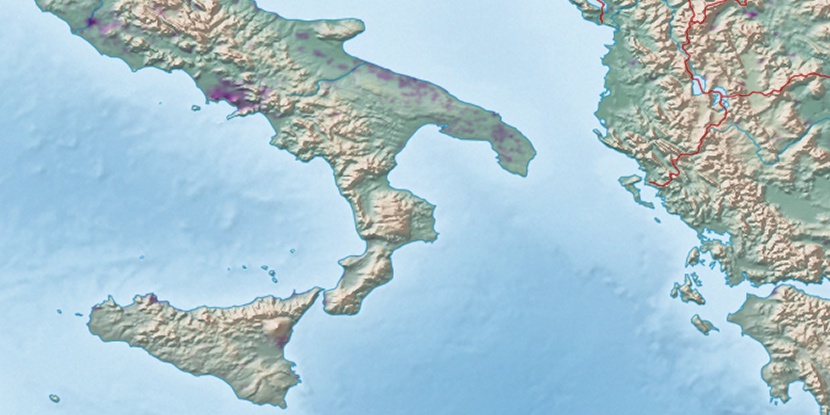
Marker is showing location of Isola Sant’ Andrea on map(s). You can click on marker if you want to hide it.
 T: 0.02968 s.
2026 © Location.zone | Terms of use | Contact
 294°
294° 310°
310° 303°
303° 241°
241° 221°
221° 321°
321° 345°
345° 228°
228°