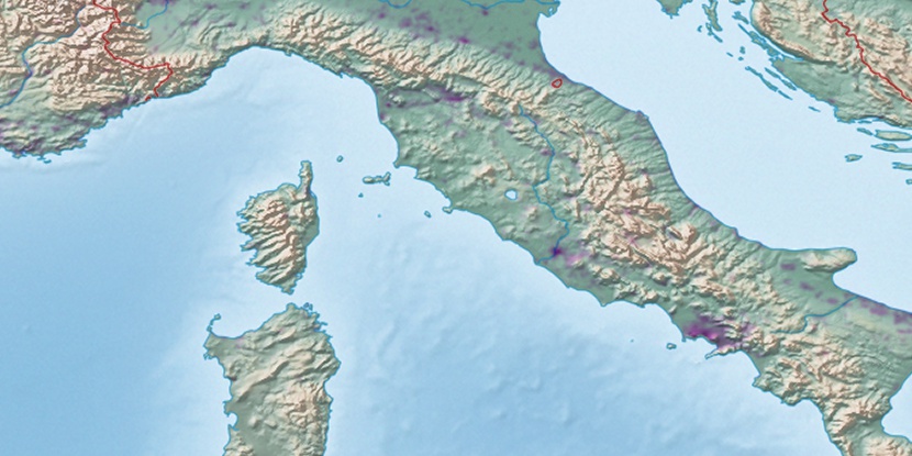
Strada Romana, (populated place) is located in Latium, in Italy (Europe). It is placed in GMT+2 time zone with current time of 11:45 AM, Sunday. Offset from your time zone: minutes.
| Latitude | 

|
|
| decimal | 42.4093 | |
| DMS | 42° 24' 33.48" N | |
| Distances from | ||
| North pole | 5291.6 km | |
| Equator | 4715.5 km | |
| South pole | 14722.5 km | |
| Longitude | 
|
|
| decimal | 12.16916 | |
| DMS | 12° 10' 8.976" E | |
| Distance from prime meridian: 998.2 km to East |
||
List of nearest places sort by population
Viterbo 5.3 km 282°
282° 79°
79° 110°
110° 149°
149° 119°110°
 219°
219° 1°
1° 138°
138° 39°
39°

Marker is showing location of Strada Romana on map(s). You can click on marker if you want to hide it.
 T: 0.03689 s.
2026 © Location.zone | Terms of use | Contact
 324°
324° 309°
309° 168°
168° 343°
343° 333°
333° 155°
155° 51°
51° 93°
93° 225°
225°