Vallo di Nera, (populated place) is located in Umbria, in Italy (Europe). It is placed in GMT+2 time zone with current time of 02:27 PM, Saturday. Offset from your time zone: minutes.
| Latitude | 

|
|
| decimal | 42.80041 | |
| DMS | 42° 48' 1.476" N | |
| Distances from | ||
| North pole | 5248.1 km | |
| Equator | 4759 km | |
| South pole | 14766 km | |
| Longitude | 
|
|
| decimal | 12.86379 | |
| DMS | 12° 51' 49.644" E | |
| Distance from prime meridian: 1048.4 km to East |
||
List of nearest places sort by population
Spoleto 12.2 km 236°
236° 312°
312° 93°
93° 290°
290° 265°
265° 247°
247° 126°
126° 299°
299° 197°
197° 278°
278°

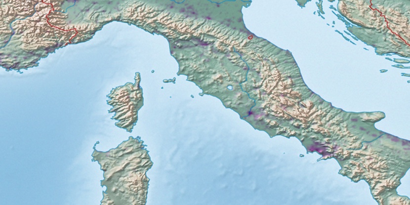
Marker is showing location of Vallo di Nera on map(s). You can click on marker if you want to hide it.
 T: 0.03117 s.
2026 © Location.zone | Terms of use | Contact
 315°
315° 152°
152° 175°
175° 326°
326° 162°
162° 119°
119° 2°
2° 51°
51° 225°
225°