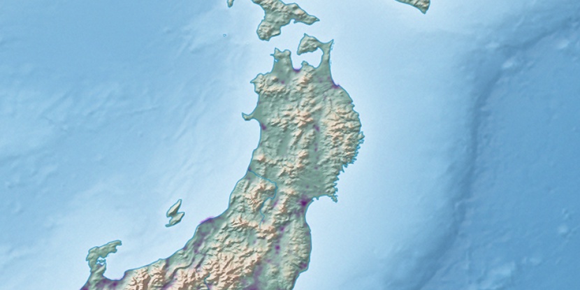
Tagajō Shi, (second-order administrative division) is located in Miyagi, in Japan (Asia). It is placed in GMT+9 time zone with current time of 11:06 PM, Saturday. Offset from your time zone: minutes.
| Latitude | 

|
|
| decimal | 38.29535 | |
| DMS | 38° 17' 43.26" N | |
| Distances from | ||
| North pole | 5749 km | |
| Equator | 4258 km | |
| South pole | 14265.1 km | |
| Longitude | 
|
|
| decimal | 140.9991 | |
| DMS | 140° 59' 56.76" E | |
| Distance from prime meridian: 10610.8 km to East |
||
List of nearest places sort by population
Sendai 12 km 254°
254° 62°
62° 51°
51° 317°
317° 209°
209° 333°52°
 8°
8° 23°
23° 31°
31°

Marker is showing location of Tagajō Shi on map(s). You can click on marker if you want to hide it.
 T: 0.00673 s.
2026 © Location.zone | Terms of use | Contact
 201°
201° 230°
230° 3°
3° 241°
241° 284°
284° 172°
172° 117°
117°