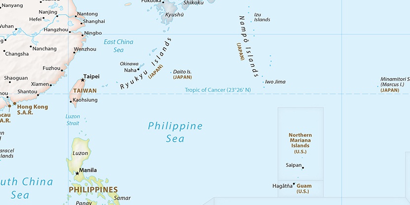
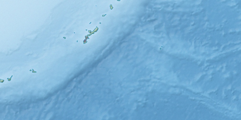
Uruma Shi, (second-order administrative division) is located in Okinawa, in Japan (Asia). It is placed in GMT+9 time zone with current time of 06:00 AM, Saturday. Offset from your time zone: minutes.
| Latitude | 

|
|
| decimal | 26.36777 | |
| DMS | 26° 22' 3.972" N | |
| Distances from | ||
| North pole | 7075.2 km | |
| Equator | 2931.8 km | |
| South pole | 12938.9 km | |
| Longitude | 
|
|
| decimal | 127.87373 | |
| DMS | 127° 52' 25.428" E | |
| Distance from prime meridian: 11918.6 km to East |
||
List of nearest places sort by population
Naha 25.3 km 228°
228° 243°
243° 223°
223° 214°
214° 22°217°223°
 179°237°
 319°
319°

Marker is showing location of Uruma Shi on map(s). You can click on marker if you want to hide it.
 T: 0.00657 s.
2026 © Location.zone | Terms of use | Contact
 47°
47° 38°
38° 33°
33° 159°
159° 293°
293° 284°
284° 111°
111°