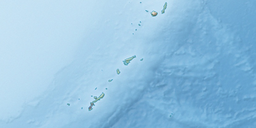
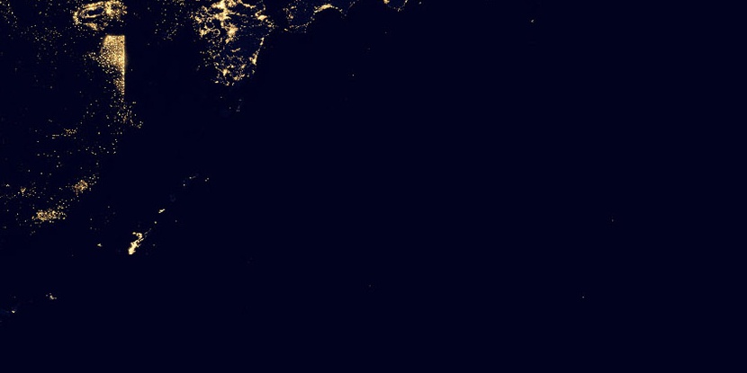
Kasari-chō, (administrative division) is located in Japan (Asia). It is placed in GMT+9 time zone with current time of 03:41 PM, Saturday. Offset from your time zone: minutes.
| Latitude | 

|
|
| decimal | 28.46667 | |
| DMS | 28° 28' 0.012" N | |
| Distances from | ||
| North pole | 6841.9 km | |
| Equator | 3165.2 km | |
| South pole | 13172.3 km | |
| Longitude | 
|
|
| decimal | 129.68333 | |
| DMS | 129° 40' 59.988" E | |
| Distance from prime meridian: 11724.2 km to East |
||
List of nearest places sort by population
Nago 265.3 km 219°
219° 240°218°
 26°
26° 21°23°21°19°22°18°

Marker is showing location of Kasari-chō on map(s). You can click on marker if you want to hide it.
 T: 0.00599 s.
2026 © Location.zone | Terms of use | Contact
 49°
49° 38°
38° 6°
6° 161°
161° 292°
292° 283°
283° 112°
112°