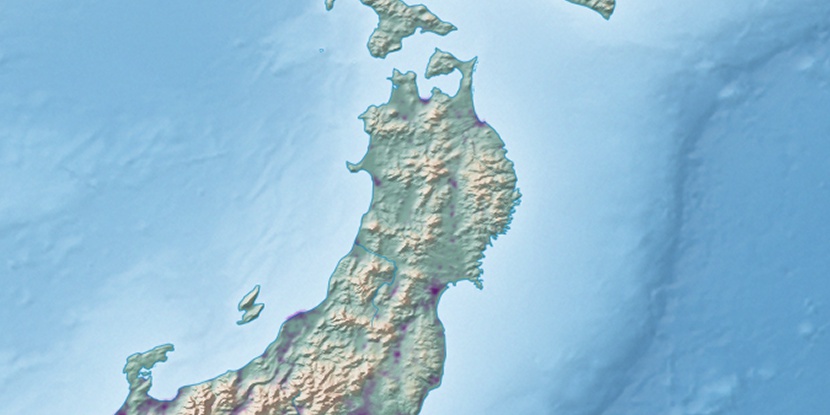
Ikawa-machiyakuba, (administrative facility) is located in Akita, in Japan (Asia). It is placed in GMT+9 time zone with current time of 08:13 PM, Saturday. Offset from your time zone: minutes.
| Latitude | 

|
|
| decimal | 39.91417 | |
| DMS | 39° 54' 51.012" N | |
| Distances from | ||
| North pole | 5569 km | |
| Equator | 4438 km | |
| South pole | 14445.1 km | |
| Longitude | 
|
|
| decimal | 140.08167 | |
| DMS | 140° 4' 54.012" E | |
| Distance from prime meridian: 10258.8 km to East |
||
List of nearest places sort by population
Akita 22 km 175°
175° 172°
172° 45°
45° 351°
351° 148°146°
 63°
63° 260°
260° 35°
35° 131°
131°

Marker is showing location of Ikawa-machiyakuba on map(s). You can click on marker if you want to hide it.
 T: 0.00897 s.
2026 © Location.zone | Terms of use | Contact
 214°
214° 16°
16° 216°
216° 230°
230° 283°
283° 117°
117°