Numata-chōyakuba, (administrative facility) is located in Hokkaido, in Japan (Asia). It is placed in GMT+9 time zone with current time of 09:01 PM, Saturday. Offset from your time zone: minutes.
| Latitude | 

|
|
| decimal | 43.80667 | |
| DMS | 43° 48' 24.012" N | |
| Distances from | ||
| North pole | 5136.2 km | |
| Equator | 4870.8 km | |
| South pole | 14877.9 km | |
| Longitude | 
|
|
| decimal | 141.93333 | |
| DMS | 141° 55' 59.988" E | |
| Distance from prime meridian: 9566.2 km to East |
||
List of nearest places sort by population
Asahikawa 34.9 km 96°
96° 184°
184° 186°
186° 301°
301° 142°144°183°
 148°
148° 161°163°

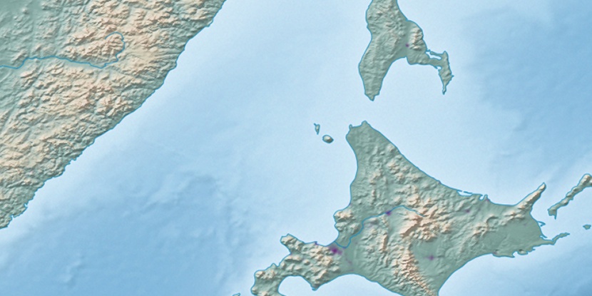
Marker is showing location of Numata-chōyakuba on map(s). You can click on marker if you want to hide it.
 T: 0.00887 s.
2026 © Location.zone | Terms of use | Contact
 208°
208° 204°
204° 221°
221° 280°
280° 173°
173° 274°
274° 119°
119°